OddSkills

OddSkills · Geography

Guess the country by its shape

One outline, four names, ten rounds. Every country in the world, drawn from Natural Earth map data.

Which country has this shape?
A country outline

Country shape quiz

The app's own practice screen: ten questions, instant feedback, nothing to install.

Country shapes that look alike

We scaled every outline to the same box, as the quiz shows them, and measured how much each pair overlaps. These are the closest matches — the ones worth learning side by side.

All 195 country outlines

Browse the shapes by region. Each outline is scaled to fill its box, so size is not a clue — only the shape.

Country shapes of Africa

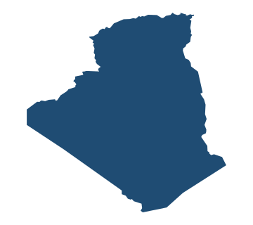
  • Outline map of Algeria Algeria
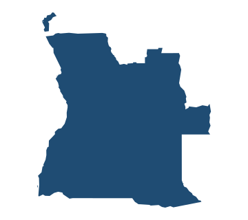
  • Outline map of Angola Angola
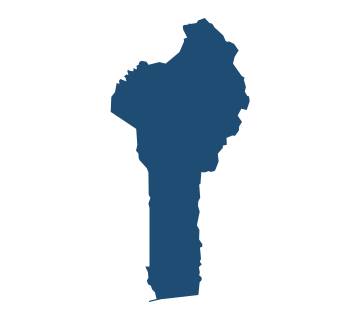
  • Outline map of Benin Benin
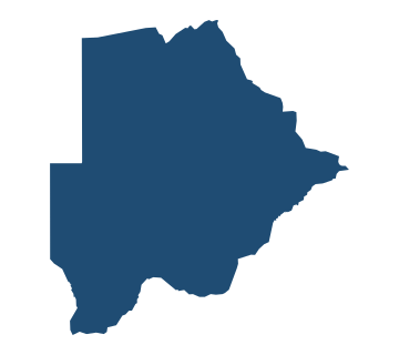
  • Outline map of Botswana Botswana
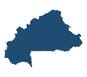
  • Outline map of Burkina Faso Burkina Faso
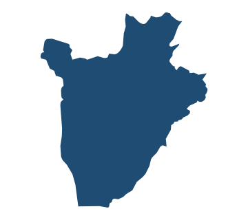
  • Outline map of Burundi Burundi
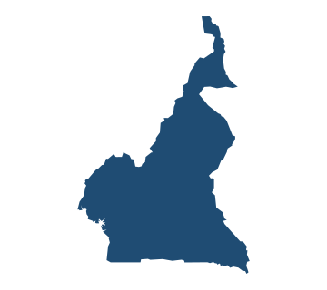
  • Outline map of Cameroon Cameroon
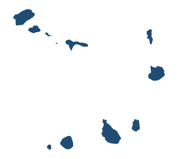
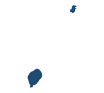
  • Outline map of Cape Verde Cape Verde
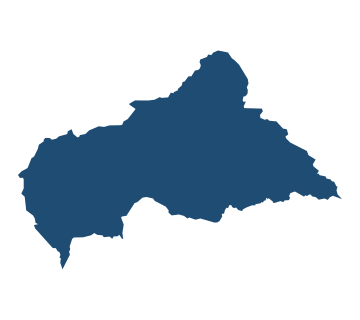
  • Outline map of Central African Republic Central African Republic
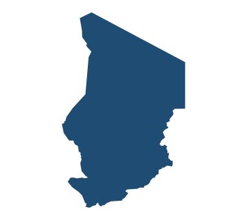
  • Outline map of Chad Chad
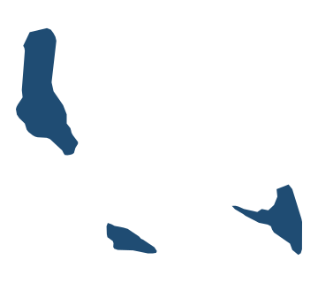
  • Outline map of Comoros Comoros
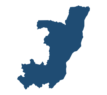
  • Outline map of Congo Congo
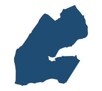
  • Outline map of Djibouti Djibouti
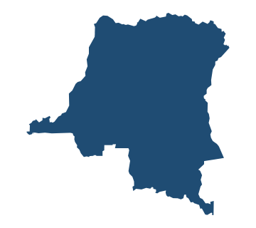
  • Outline map of DR Congo DR Congo
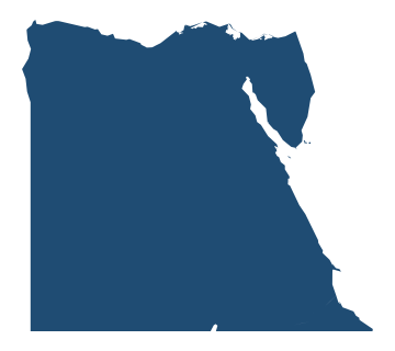
  • Outline map of Egypt Egypt
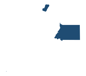
  • Outline map of Equatorial Guinea Equatorial Guinea
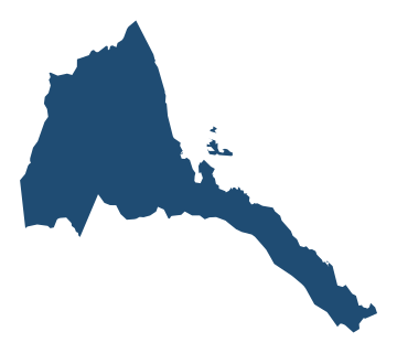
  • Outline map of Eritrea Eritrea
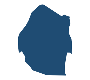
  • Outline map of Eswatini Eswatini
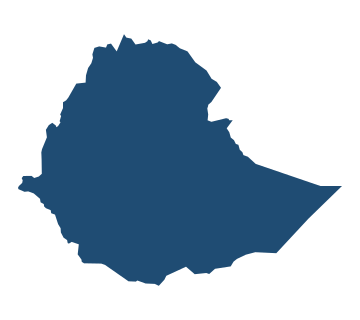
  • Outline map of Ethiopia Ethiopia
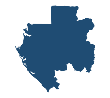
  • Outline map of Gabon Gabon
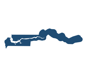
  • Outline map of Gambia Gambia
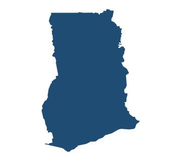
  • Outline map of Ghana Ghana
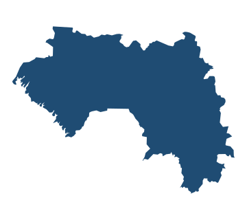
  • Outline map of Guinea Guinea
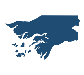
  • Outline map of Guinea-Bissau Guinea-Bissau
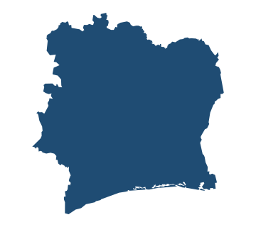
  • Outline map of Ivory Coast Ivory Coast
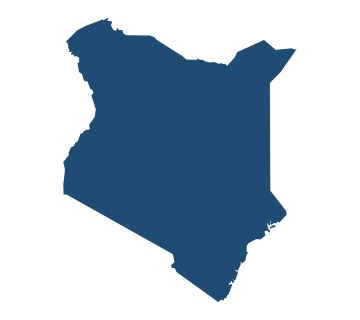
  • Outline map of Kenya Kenya
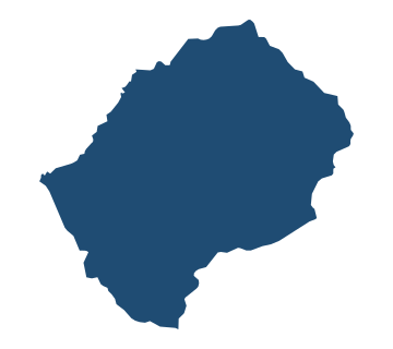
  • Outline map of Lesotho Lesotho
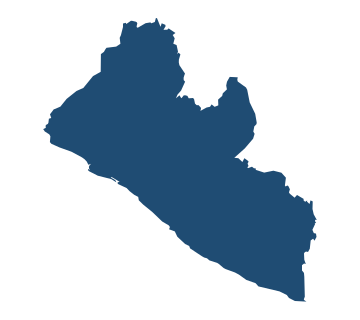
  • Outline map of Liberia Liberia
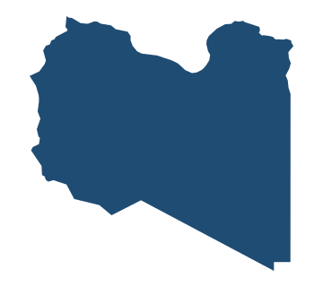
  • Outline map of Libya Libya
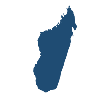
  • Outline map of Madagascar Madagascar
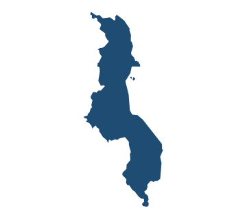
  • Outline map of Malawi Malawi
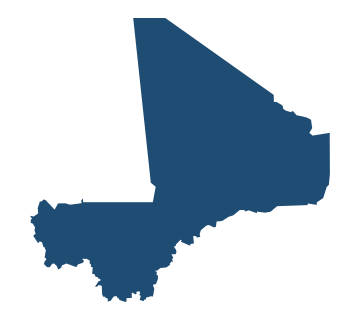
  • Outline map of Mali Mali
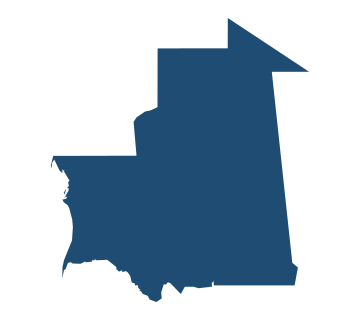
  • Outline map of Mauritania Mauritania
  • Outline map of Mauritius Mauritius
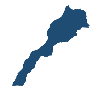
  • Outline map of Morocco Morocco
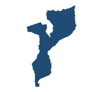
  • Outline map of Mozambique Mozambique
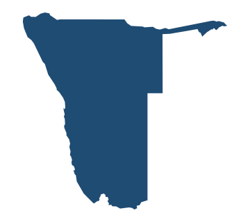
  • Outline map of Namibia Namibia
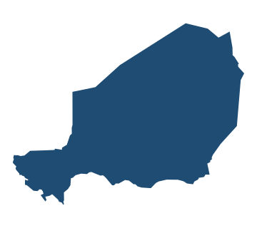
  • Outline map of Niger Niger
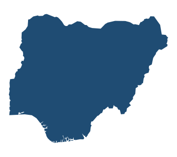
  • Outline map of Nigeria Nigeria
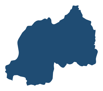
  • Outline map of Rwanda Rwanda
  • Outline map of São Tomé and Príncipe São Tomé and Príncipe
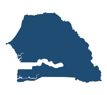
  • Outline map of Senegal Senegal
  • Outline map of Seychelles Seychelles
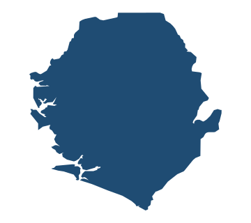
  • Outline map of Sierra Leone Sierra Leone
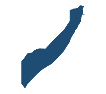
  • Outline map of Somalia Somalia
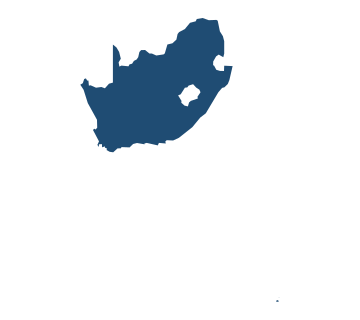
  • Outline map of South Africa South Africa
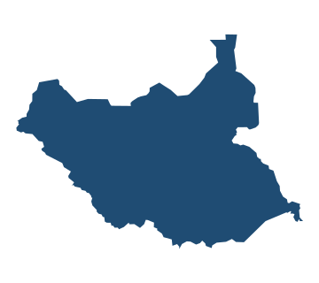
  • Outline map of South Sudan South Sudan
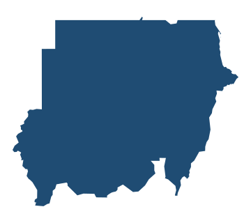
  • Outline map of Sudan Sudan
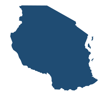
  • Outline map of Tanzania Tanzania
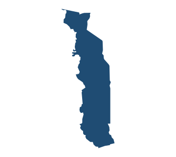
  • Outline map of Togo Togo
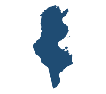
  • Outline map of Tunisia Tunisia
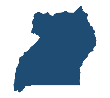
  • Outline map of Uganda Uganda
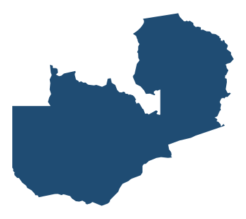
  • Outline map of Zambia Zambia
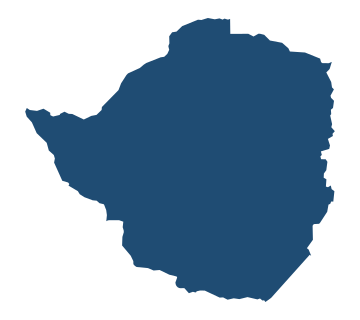
  • Outline map of Zimbabwe Zimbabwe

Country shapes of the Americas

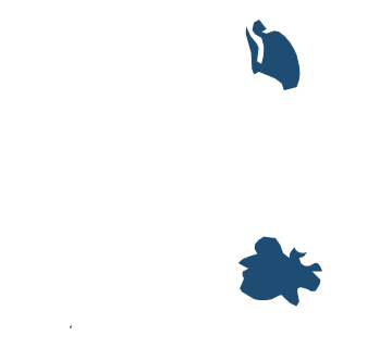
  • Outline map of Antigua and Barbuda Antigua and Barbuda
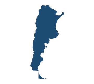
  • Outline map of Argentina Argentina
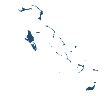
  • Outline map of Bahamas Bahamas
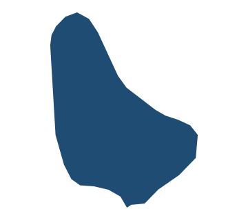
  • Outline map of Barbados Barbados
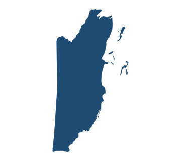
  • Outline map of Belize Belize
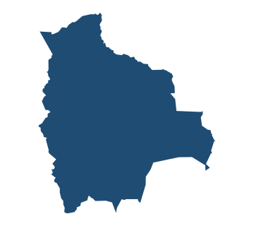
  • Outline map of Bolivia Bolivia
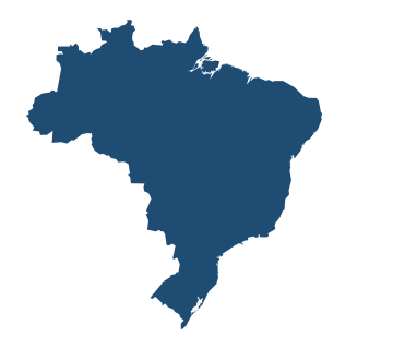
  • Outline map of Brazil Brazil
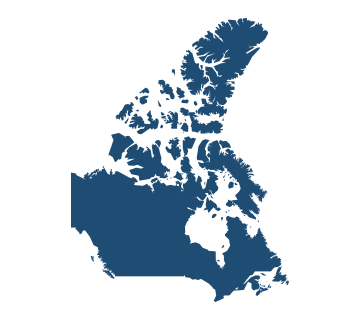
  • Outline map of Canada Canada
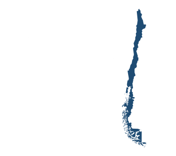
  • Outline map of Chile Chile
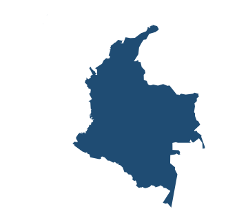
  • Outline map of Colombia Colombia
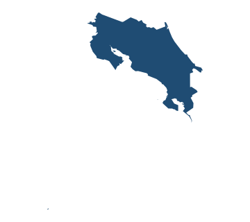
  • Outline map of Costa Rica Costa Rica
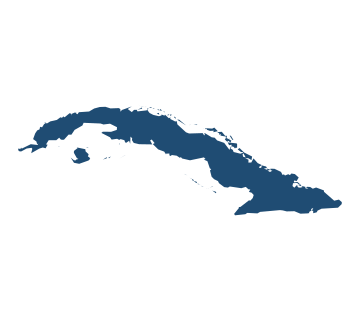
  • Outline map of Cuba Cuba
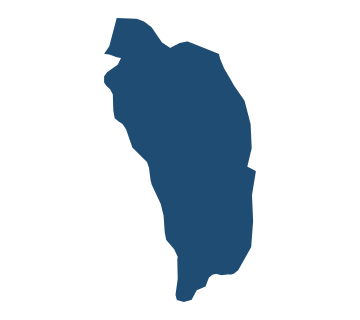
  • Outline map of Dominica Dominica
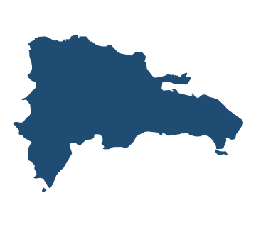
  • Outline map of Dominican Republic Dominican Republic
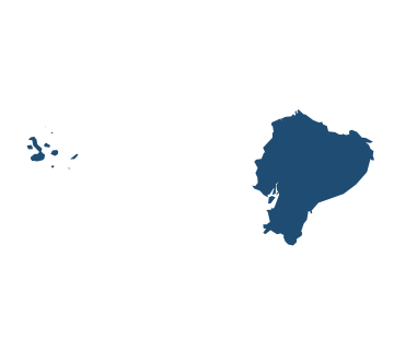
  • Outline map of Ecuador Ecuador
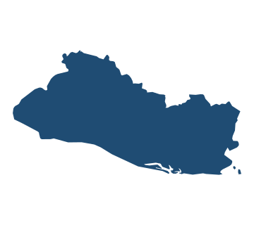
  • Outline map of El Salvador El Salvador
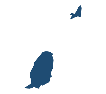
  • Outline map of Grenada Grenada
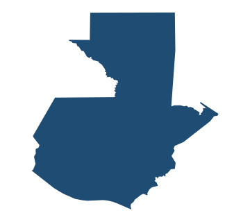
  • Outline map of Guatemala Guatemala
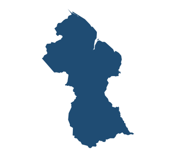
  • Outline map of Guyana Guyana
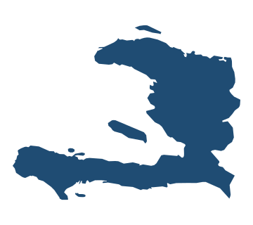
  • Outline map of Haiti Haiti
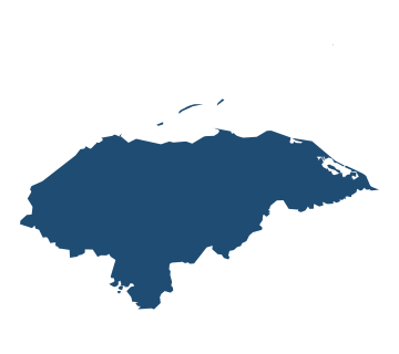
  • Outline map of Honduras Honduras
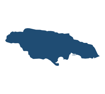
  • Outline map of Jamaica Jamaica
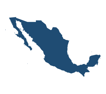
  • Outline map of Mexico Mexico
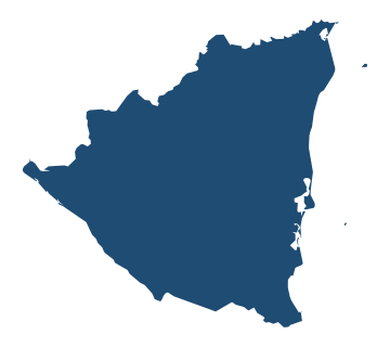
  • Outline map of Nicaragua Nicaragua
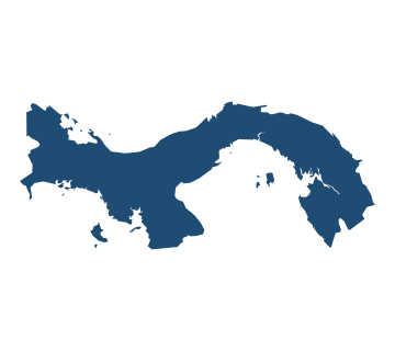
  • Outline map of Panama Panama
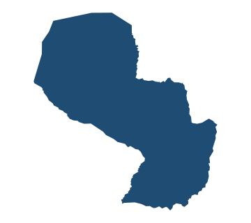
  • Outline map of Paraguay Paraguay
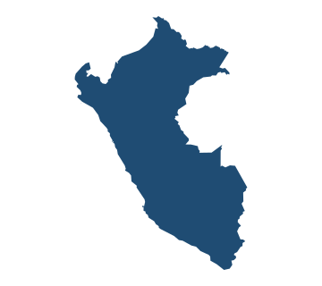
  • Outline map of Peru Peru
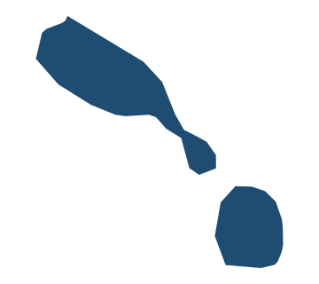
  • Outline map of Saint Kitts and Nevis Saint Kitts and Nevis
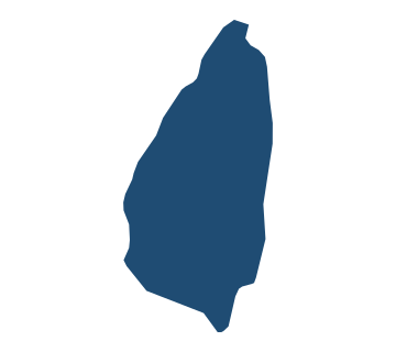
  • Outline map of Saint Lucia Saint Lucia
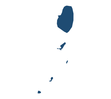
  • Outline map of Saint Vincent and the Grenadines Saint Vincent and the Grenadines
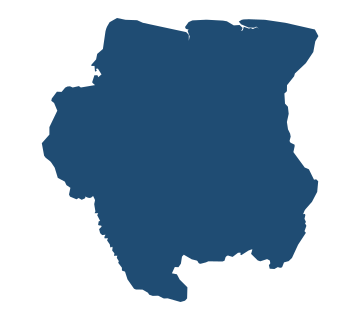
  • Outline map of Suriname Suriname
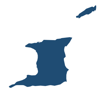
  • Outline map of Trinidad and Tobago Trinidad and Tobago
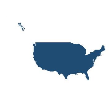
  • Outline map of United States United States
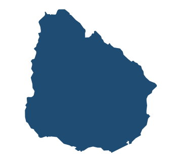
  • Outline map of Uruguay Uruguay
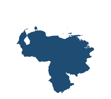
  • Outline map of Venezuela Venezuela

Country shapes of Asia

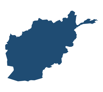
  • Outline map of Afghanistan Afghanistan
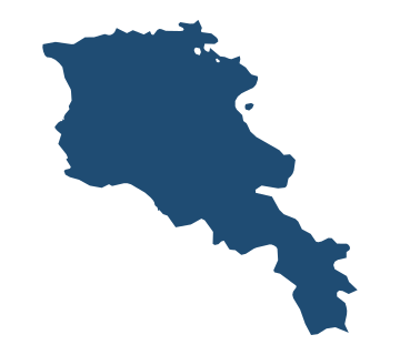
  • Outline map of Armenia Armenia
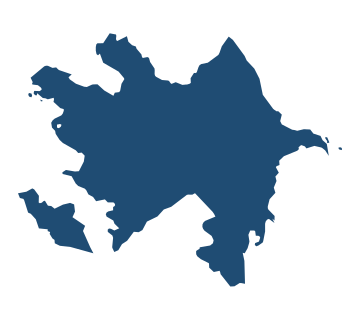
  • Outline map of Azerbaijan Azerbaijan
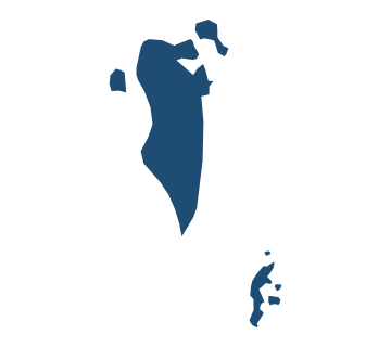
  • Outline map of Bahrain Bahrain
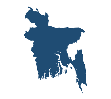
  • Outline map of Bangladesh Bangladesh
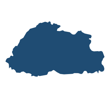
  • Outline map of Bhutan Bhutan
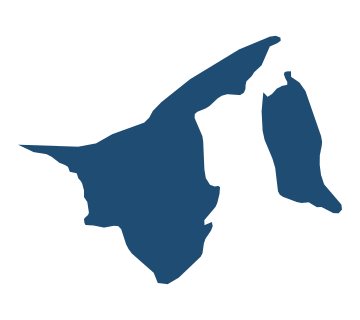
  • Outline map of Brunei Brunei
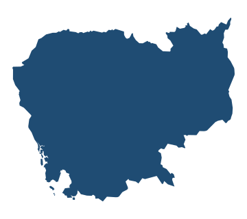
  • Outline map of Cambodia Cambodia
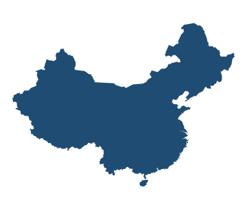
  • Outline map of China China
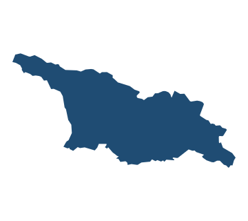
  • Outline map of Georgia Georgia
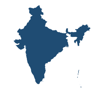
  • Outline map of India India
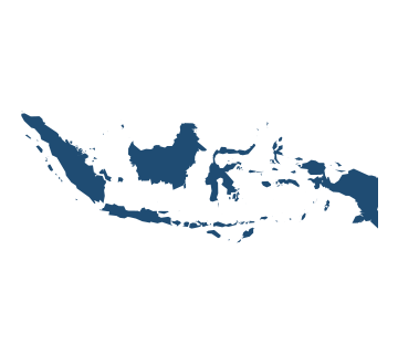
  • Outline map of Indonesia Indonesia
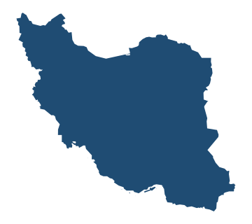
  • Outline map of Iran Iran
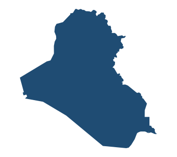
  • Outline map of Iraq Iraq
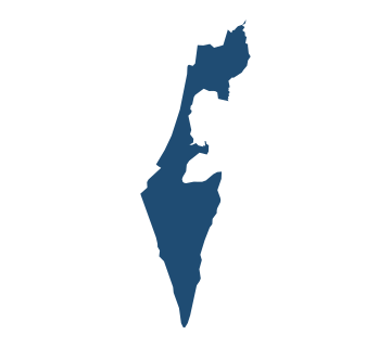
  • Outline map of Israel Israel
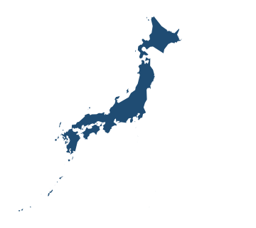
  • Outline map of Japan Japan
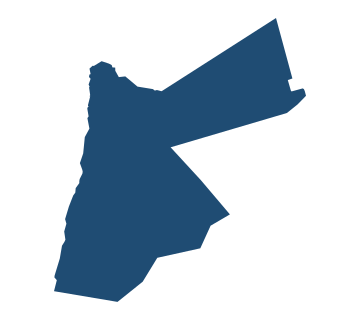
  • Outline map of Jordan Jordan
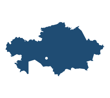
  • Outline map of Kazakhstan Kazakhstan
  • Outline map of Kuwait Kuwait
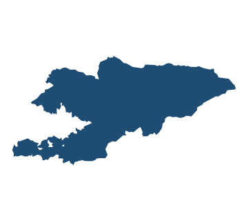
  • Outline map of Kyrgyzstan Kyrgyzstan
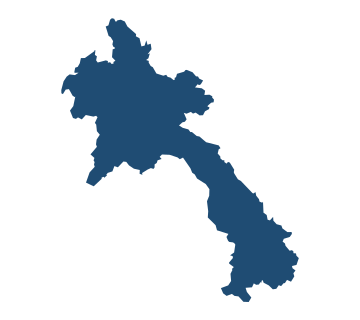
  • Outline map of Laos Laos
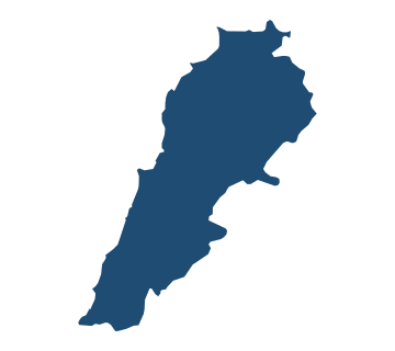
  • Outline map of Lebanon Lebanon
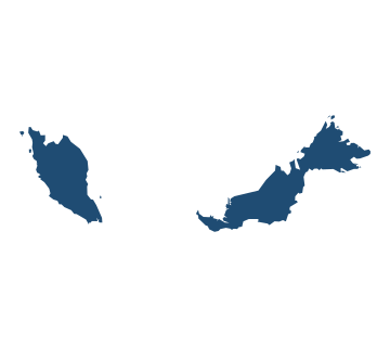
  • Outline map of Malaysia Malaysia
  • Outline map of Maldives Maldives
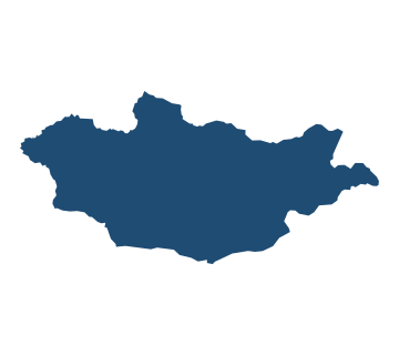
  • Outline map of Mongolia Mongolia
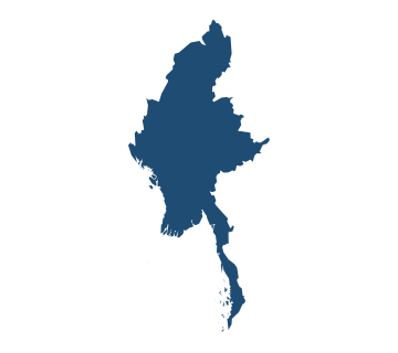
  • Outline map of Myanmar Myanmar
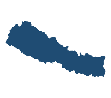
  • Outline map of Nepal Nepal
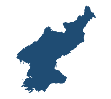
  • Outline map of North Korea North Korea
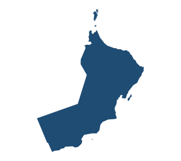
  • Outline map of Oman Oman
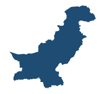
  • Outline map of Pakistan Pakistan
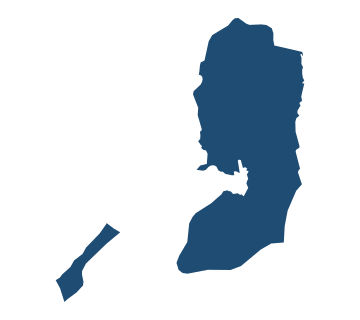
  • Outline map of Palestine Palestine
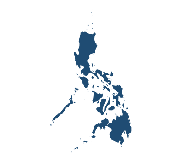
  • Outline map of Philippines Philippines
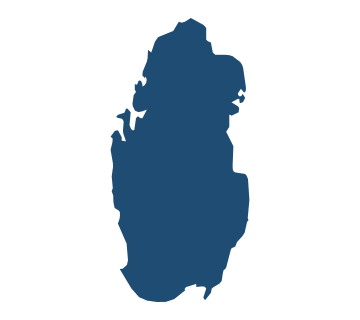
  • Outline map of Qatar Qatar
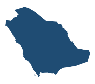
  • Outline map of Saudi Arabia Saudi Arabia
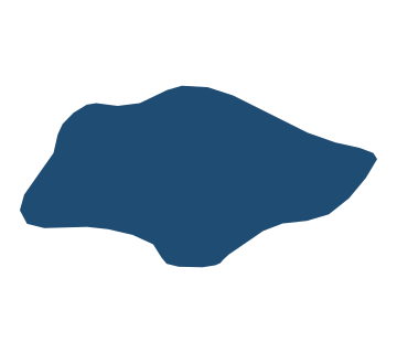
  • Outline map of Singapore Singapore
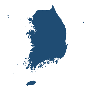
  • Outline map of South Korea South Korea
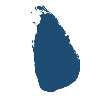
  • Outline map of Sri Lanka Sri Lanka
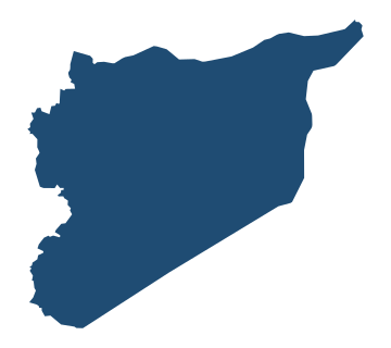
  • Outline map of Syria Syria
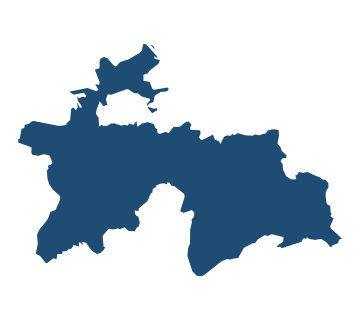
  • Outline map of Tajikistan Tajikistan
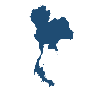
  • Outline map of Thailand Thailand
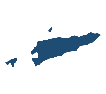
  • Outline map of Timor-Leste Timor-Leste
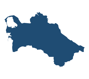
  • Outline map of Turkmenistan Turkmenistan
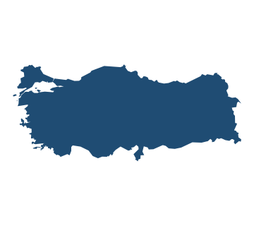
  • Outline map of Türkiye Türkiye
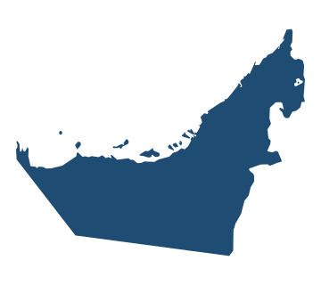
  • Outline map of United Arab Emirates United Arab Emirates
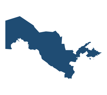
  • Outline map of Uzbekistan Uzbekistan
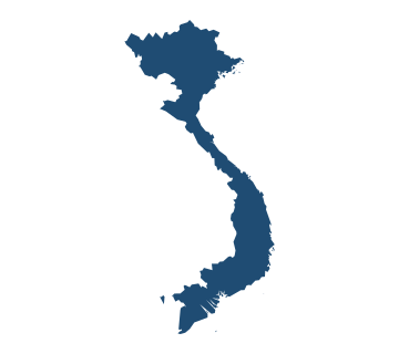
  • Outline map of Vietnam Vietnam
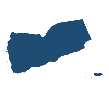
  • Outline map of Yemen Yemen

Country shapes of Europe

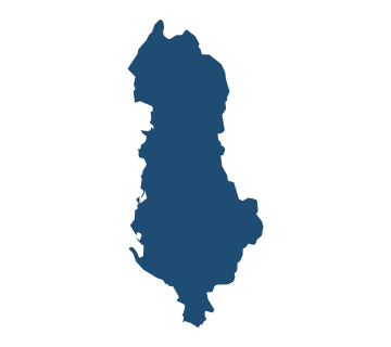
  • Outline map of Albania Albania
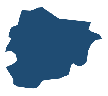
  • Outline map of Andorra Andorra
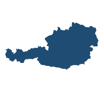
  • Outline map of Austria Austria
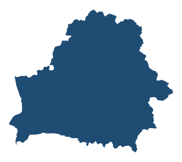
  • Outline map of Belarus Belarus
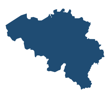
  • Outline map of Belgium Belgium
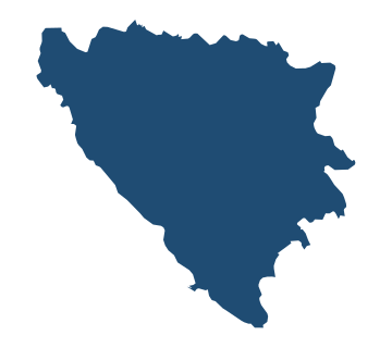
  • Outline map of Bosnia and Herzegovina Bosnia and Herzegovina
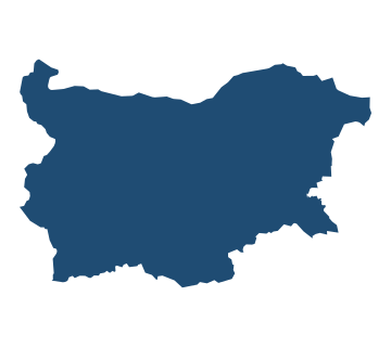
  • Outline map of Bulgaria Bulgaria
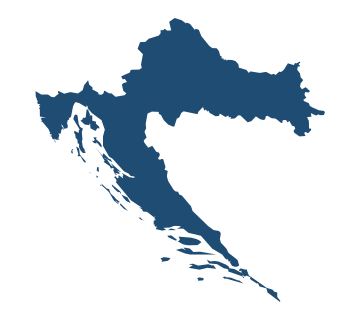
  • Outline map of Croatia Croatia
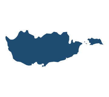
  • Outline map of Cyprus Cyprus
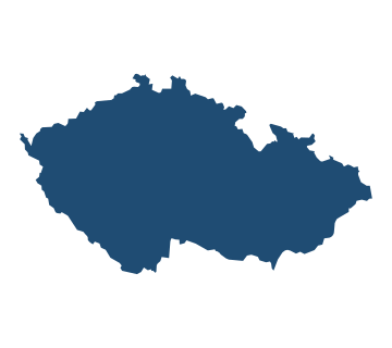
  • Outline map of Czechia Czechia
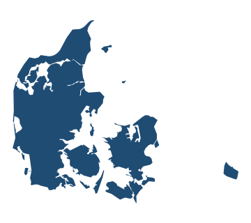
  • Outline map of Denmark Denmark
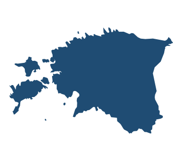
  • Outline map of Estonia Estonia
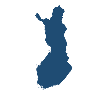
  • Outline map of Finland Finland
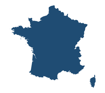
  • Outline map of France France
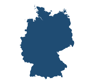
  • Outline map of Germany Germany
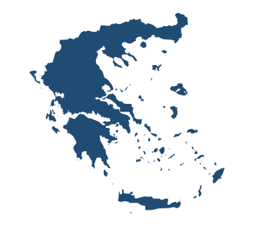
  • Outline map of Greece Greece
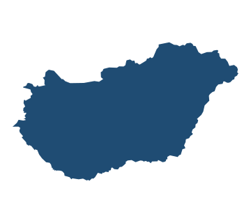
  • Outline map of Hungary Hungary
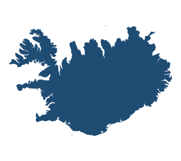
  • Outline map of Iceland Iceland
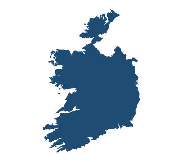
  • Outline map of Ireland Ireland
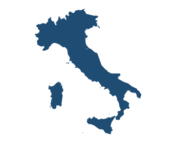
  • Outline map of Italy Italy
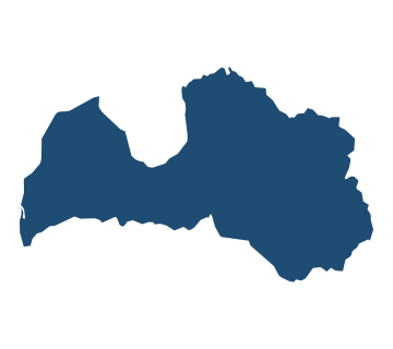
  • Outline map of Latvia Latvia
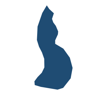
  • Outline map of Liechtenstein Liechtenstein
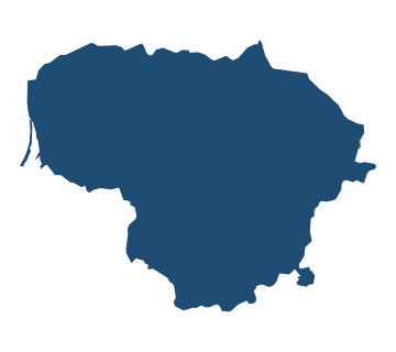
  • Outline map of Lithuania Lithuania
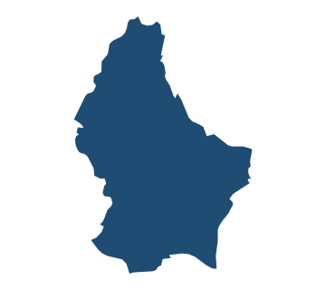
  • Outline map of Luxembourg Luxembourg
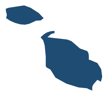
  • Outline map of Malta Malta
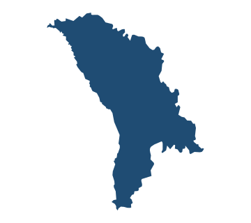
  • Outline map of Moldova Moldova
  • Outline map of Monaco Monaco
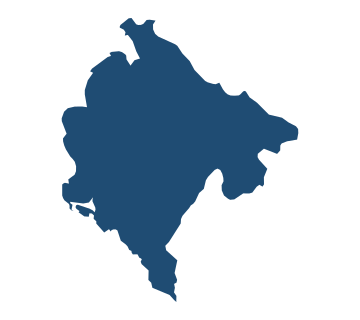
  • Outline map of Montenegro Montenegro
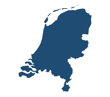
  • Outline map of Netherlands Netherlands
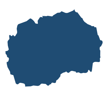
  • Outline map of North Macedonia North Macedonia
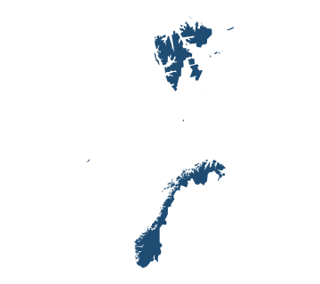
  • Outline map of Norway Norway
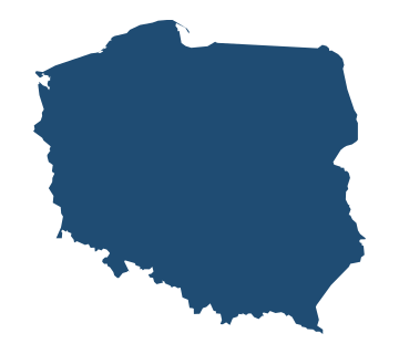
  • Outline map of Poland Poland
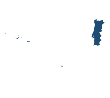
  • Outline map of Portugal Portugal
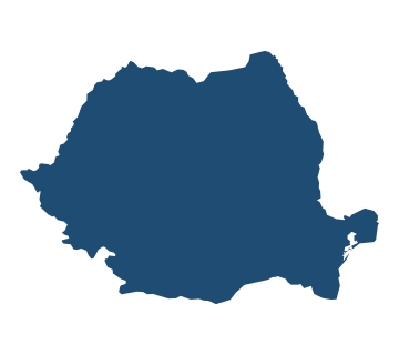
  • Outline map of Romania Romania
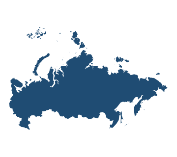
  • Outline map of Russia Russia
  • Outline map of San Marino San Marino
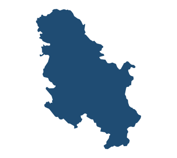
  • Outline map of Serbia Serbia
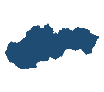
  • Outline map of Slovakia Slovakia
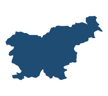
  • Outline map of Slovenia Slovenia
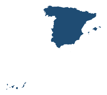
  • Outline map of Spain Spain
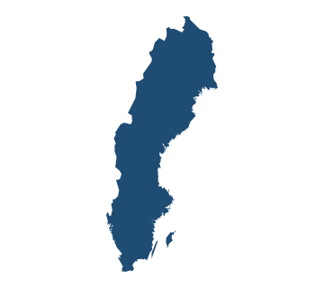
  • Outline map of Sweden Sweden
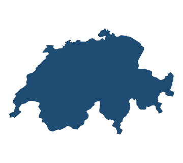
  • Outline map of Switzerland Switzerland
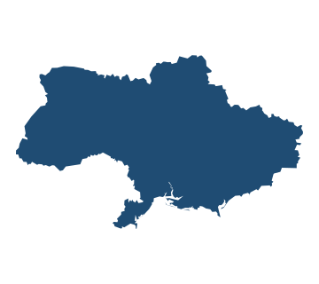
  • Outline map of Ukraine Ukraine
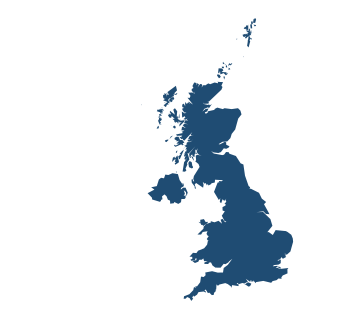
  • Outline map of United Kingdom United Kingdom
  • Outline map of Vatican City Vatican City

Country shapes of Oceania

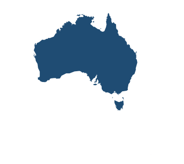
  • Outline map of Australia Australia
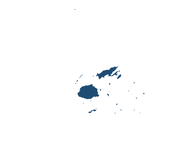
  • Outline map of Fiji Fiji
  • Outline map of Kiribati Kiribati
  • Outline map of Marshall Islands Marshall Islands
  • Outline map of Micronesia Micronesia
  • Outline map of Nauru Nauru
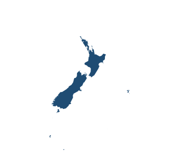
  • Outline map of New Zealand New Zealand
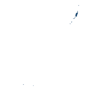
  • Outline map of Palau Palau
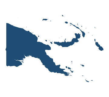
  • Outline map of Papua New Guinea Papua New Guinea
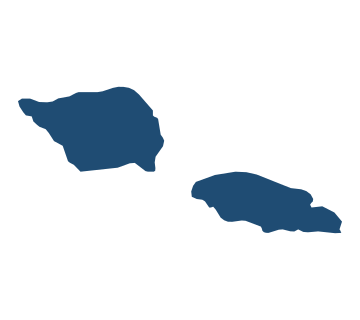
  • Outline map of Samoa Samoa
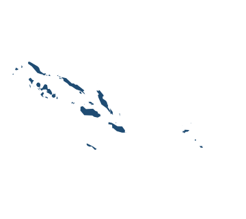
  • Outline map of Solomon Islands Solomon Islands
  • Outline map of Tonga Tonga
  • Outline map of Tuvalu Tuvalu
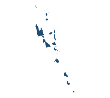
  • Outline map of Vanuatu Vanuatu

Questions

Where do the country outlines come from?
Natural Earth 5.1.2, the public-domain map dataset. Each outline is the country’s principal land group; distant territories may be left out and very small states are enlarged so they can be recognised.
Which country shapes are easiest to recognise?
Italy’s boot, Chile’s ribbon and the long curve of Vietnam. The hard ones are the square-ish countries of Africa and Central Asia, where the borders are straight lines.
Is guess-the-country-by-shape free?
Yes, here in the browser, and Country Shapes stays free forever in the OddSkills app.
How many countries are in the shape quiz?
195: the 193 UN members plus the Holy See and Palestine.

More to practise